River/Stream: Big Sioux River
Built: 1883. Rehabilitation to rock arch rapids completed in 2013.
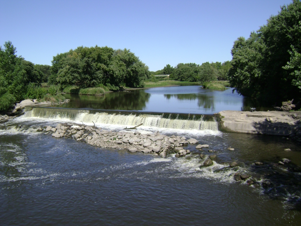
View of dam after conversion to rock arch rapids (during high water.)
Owner: S. Dak. Dept of Schools & Land / Iowa DNR
Height: formerly 12 ft.
Length: formerly 175 ft.
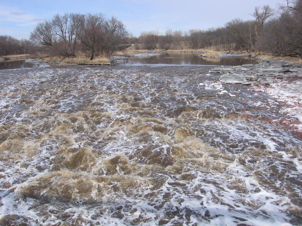
Hazards: drowning, varying, visibility -- significantly reduced by rehabilitation project
Warning Signs: no longer needed.
Portage Options: scout your route through the rock arch rapids.
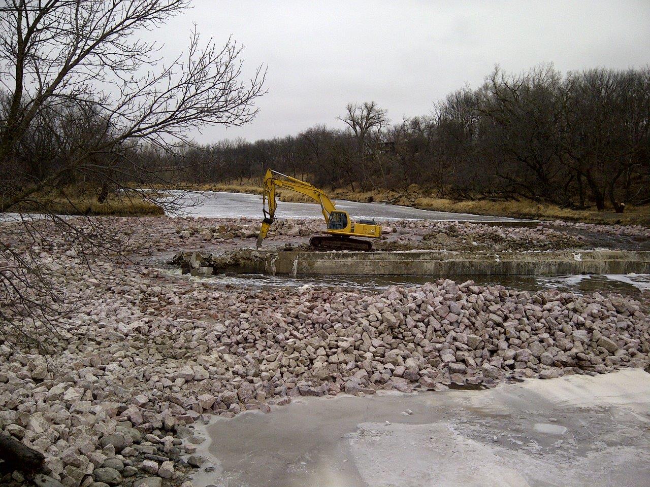
Comments: conversion to rock arch rapids completed in March, 2013 using 400 metric tons of rock to maintain water level for infiltration of wells upstream. Rapids will allow fish to migrate up the river.
Fatalities: none in Iowa documented during archive searches. Several drownings have occurred at low head dams upstream in South Dakota.
Rubble Dams Downstream of Klondike on the Big Sioux
- Canton, South Dakota. Access above and below the rubble dam. A class I-II rapid forms below the former low head dam. Click here for an aerial view of the rubble dam location.
- Site of former Hawarden Mill Dam at Hawarden in Sioux County, Iowa. Originally built in 1868. Click here for an aerial view of the rubble dam location.