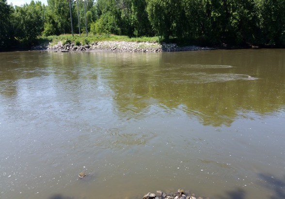
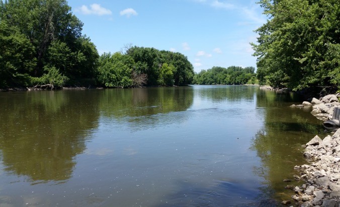
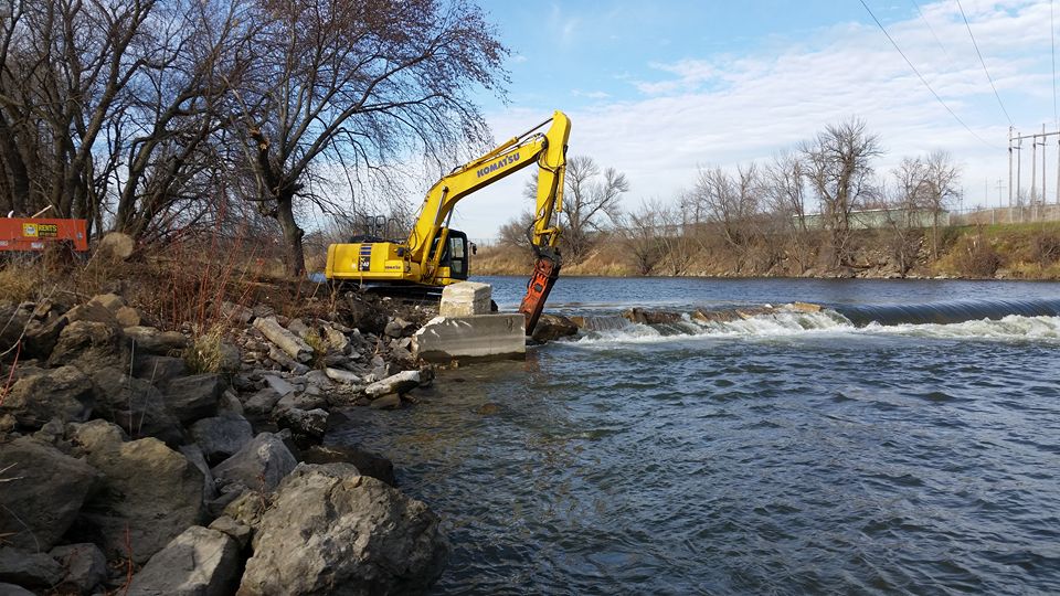
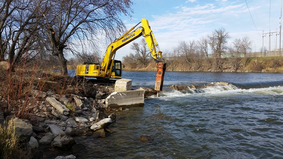
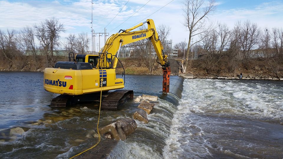
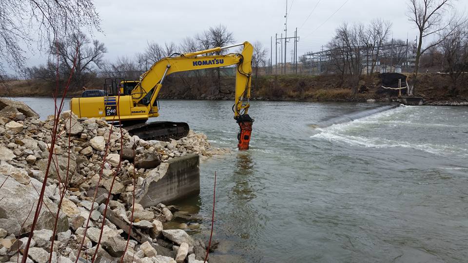
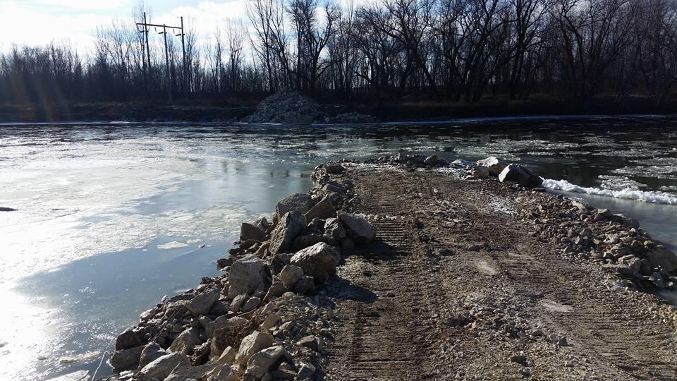
River/Stream: Des Moines River
Location: S of Humboldt and Dakota City, Humboldt County
Latitude: 42.6741281731682
Longitude: -94.1900668510907
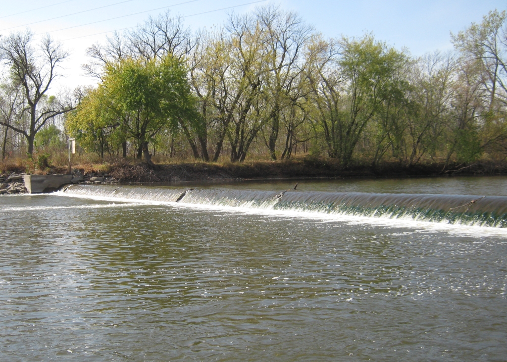
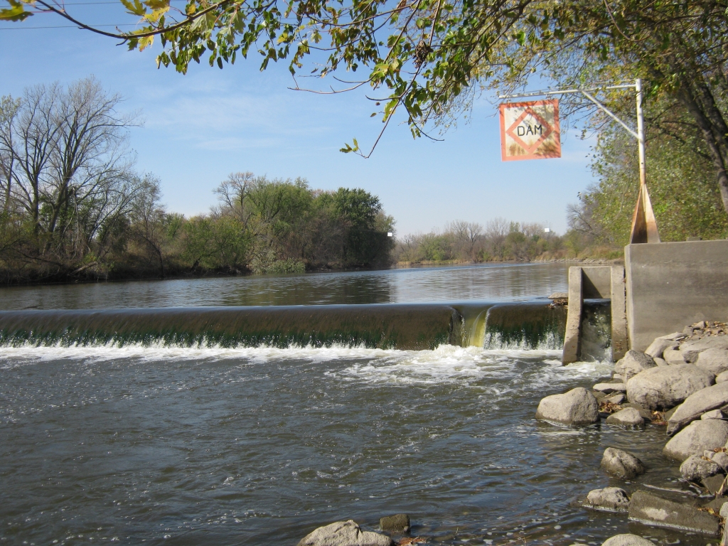
Built: 1949. Removed 2016.
Owner: Corn Belt Power Cooperative
Height: formerly 5 ft.
Length: 200 ft.
Hazards: drowning, varying, visibility -- significantly reduced by rehabilitation project
Warning Signs: no longer needed
Portage:
Comments: The river is open from below the dam at Humboldt down to the Fort Dodge Hydro Dam.
Fatalities 3
- May 23, 1985, canoeists Reggie, Ronald & Stacy Tate
Incident Report: Two brothers and their nephew drowned after their canoe went over the Corn Belt Power Dam on the Des Moines River near Humboldt, Iowa. All were wearing life vests. No one saw what happened, but the river is flat above and below the dam. All bodies were recovered within sight of the dam; the canoe was spotted and picked up near Fort Dodge, fifteen miles downstream.