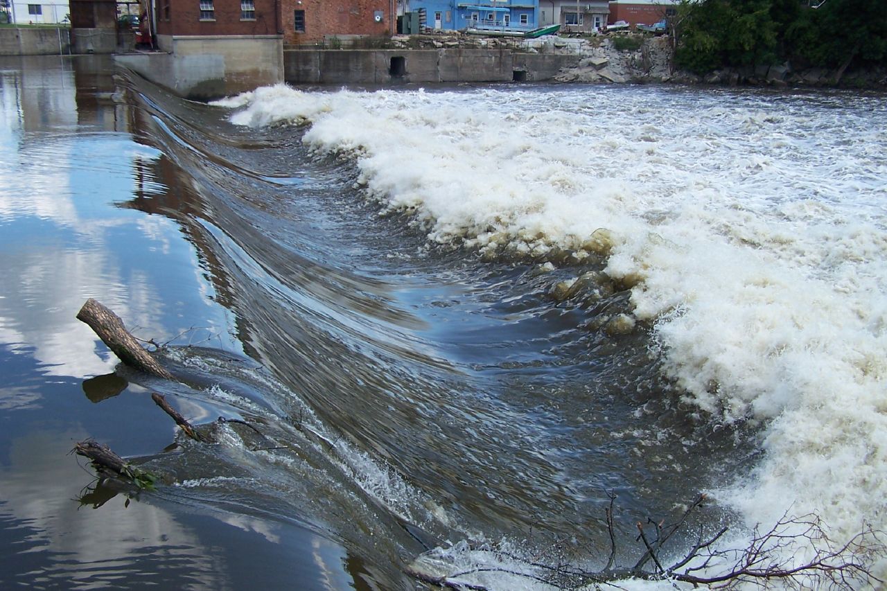
River/Stream: Shell Rock River
Location: Greene, Butler County
Latitude: 42.895158
Longitude: -92.802640
Built: 1924

Photo by Robin Shook
Owner: County Conservation Board
Height: 10 feet
Length: 210 feet
Warning signs: a few worthly of improvement
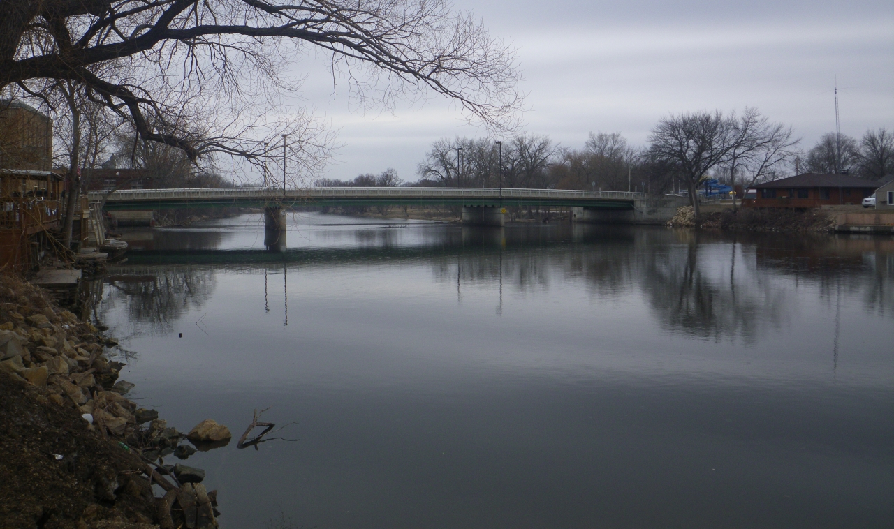
Portage option: none. Take out at Peerin Park two blocks upstream from dam on river left. Carry or transport through town crossing Traer Street bridge. Put in well downstream at Greene Recreational Area on river right.
Comments:
Fatalities
- Close calls - two boys fell in and nearly drowned in 1956 and 1960.
Upstream view of dam horizon line
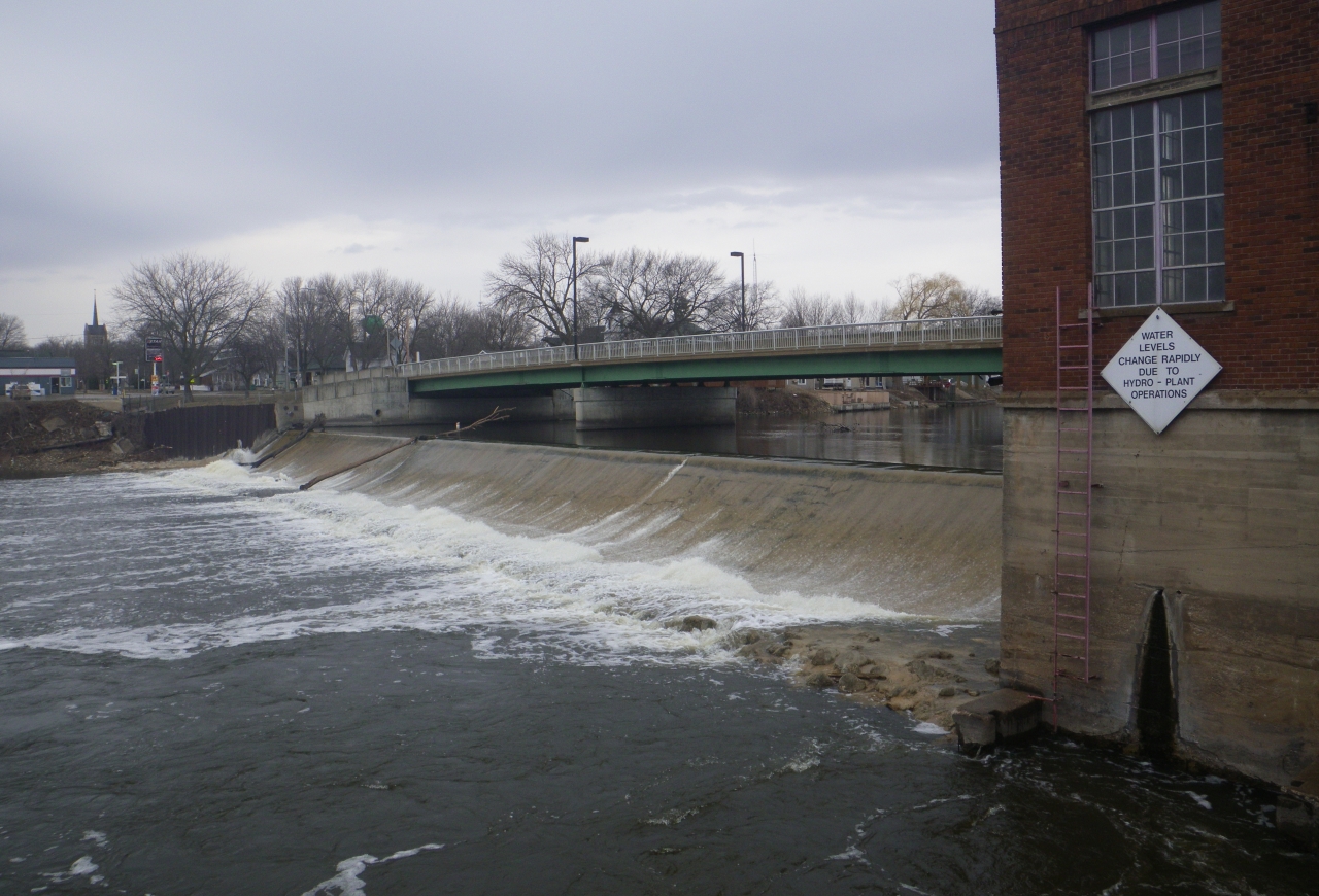
View of hydro plant warning at low flow