River/Stream: Wapsipinicon River
Location: Independence, Buchanan County
Latitude: 42.469244
Longitude: -91.894690
Built: 1854

View of the boil below the dam.
Owner: City of Independence
Height: 12 ft.
Length: 270 ft.
Warning Signs: standard signs are up; cable upstream of the dam supported by floating barrels
Portage:
Comments: obvious impoundment
Fatalitites: A near tragedy occurred on July 29, 1969, when a boat was swept over the dam and its operator narrowly escaped drowning.
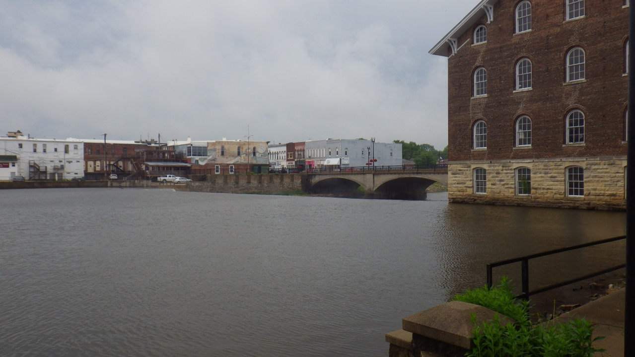
Upstream view of dam horizon line.
Photos by Lyle Danielson