River/Stream: Cedar River

View of dam face and tainter gates
Built: First mill race dam 1848. Current originally 1886
Owner: City of Cedar Falls
Height: 12.5 ft.
Length: 342 ft.
Hazards: visibility, portage, urban, height
Warning Signs: do not meet current standards
Portage: Take out on river left at the beach between the Island Park boat docks and the bridge. Follow the bike trail under the bridge, and put back in at a shallow cove below the dam. Distance is approximately 100 yards.
Fatalities 3
- April 13, 2017 - Anthony S. “Tony” Romero, fell off ledge while fishing and was pulled into recirculating hydraulic. He died a few days later.
- April 24, 1971 - Randy Scheffert from one of two powerless boats swept over dam
- July 7, 1954 - Lyell Corwin, slipped on ledge and fell in while fishing
Close call: on May 14, 2017, firefighters and police pulled Chloe Adams from the Cedar River after she slipped into the tumultuous water beneath the dam.
Other close calls - canoeists and jet skier survived accidental runnings of tainter gates. Do not paddle under the bridge towards the dam.
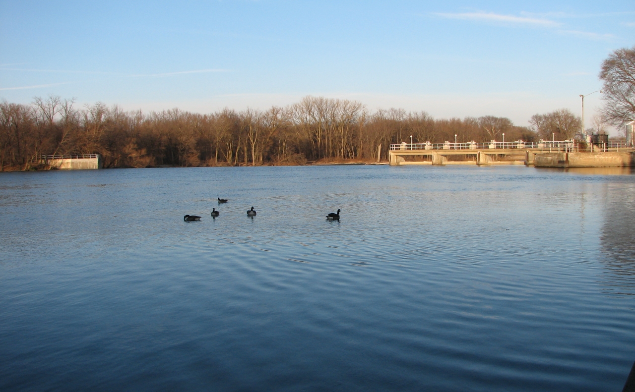
Upstream view of dam horizon line
Clay Hole Park and Play
Whitewater kayakers gather at a breeched "beautification" dam approximately 600 yards downstream from the tainter gate dam in Cedar Falls. Click here to see the description of Clay Hole on American Whitewater.
Paddlers and other river users are urged to avoid the sticky hydraulic that forms to the west (river right) of "D" hole.
